The Mombasa Trade Corridor: Navigating Multi-Modal Risks
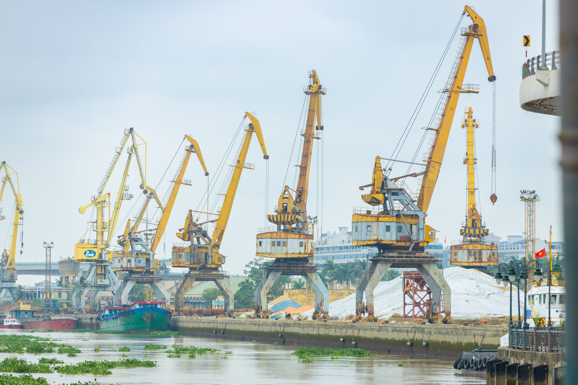
In geostrategic terms, East Africa’ s operational stability hinges on the efficiency and regulatory consistency of the Northern Corridor. Running from the deep-water Mombasa Port through Kenya into landlocked Uganda, Rwanda, and eastern Democratic Republic of the Congo, this axis moves up to 30 million tons of freight yearly.
Border Red-Tape and Structural Vulnerabilities
Despite heavy capital investment in new highway segments, multi-modal terminal points, and modern cargo verification sensors, our ground observers still identify systemic regulatory friction points. Double taxation models, overlapping state safety audits, and uncoordinated security inspections add up to 48 hours of transit latency per transit cargo.
- Double customs documentation between national borders.
- Inconsistent axle weight regulations along highway routes.
- Occasional local rail disruptions shifting pressure back onto logistics networks.
Our Operational Projections
We advise logistics coordinators and multi-national corporations to retain decentralized storage depots at major logistics junctions. Over-reliance on uniform rail schedules raises risks. Multi-modal routes linking road and rail, combined with verified digital custom permits, remain the primary defense against unexpected transport delays.
Acquire Specialized Trade Corridor Forecasts
Get customized, real-time alerts regarding maritime strikes, transport blockades, and custom changes inside East Africa.
Contact our Desk Specialist